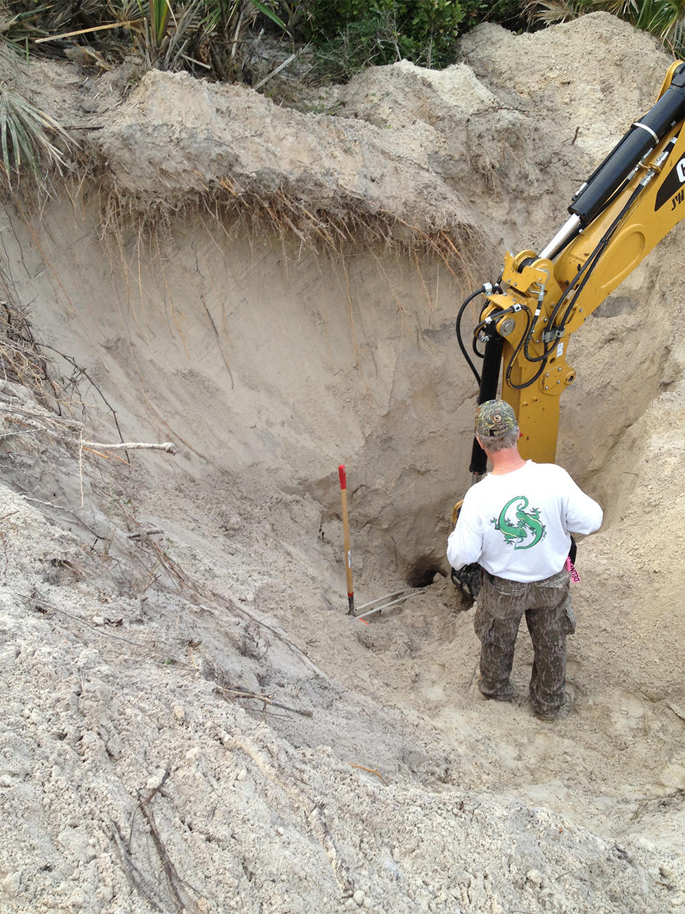
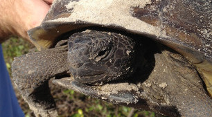
Protected Species Assessment and Permitting
We access property for the presence of State and Federal protected species. We commonly work with gopher tortoises, ospreys and bald eagles.
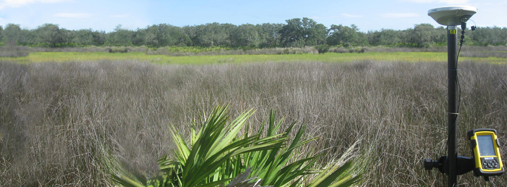
Wetland Assessment and Delineation
Using GIS, we evaluate historic infrared and color aerials, contours, soils, National Wetland Inventory (NWI) and topographic maps to interpret the extent of State and Federal jurisdictional wetlands. We then delineate, GPS and map the limits of those wetlands in the field.
Local, State and Federal Environmental Permitting
We commonly work with local Counties, Department of Environmental Protection (DEP), St. Johns River Water Management District, and the Army Corps of Engineers to obtain permits for various activities affecting wetlands.
Dock and Dredge Permitting
We can assess and site the dock alignment and obtain State and Federal permits. We can also access and permit mechanical and hydraulic dredging.
Mitigation Planning and Design
When impacts to jurisdictional wetland occur we develop a comprehensive mitigation plan which can include wetland preservation, restoration, creation or purchase of wetland mitigation bank credits.
Land Management Services
We work closely with our clients to meet any objectives related to wildlife utilization, silvicultural practices, wildfire prevention, and exotic or nuisance species control. Tools that we have at our disposal include but are not limited to a burn team with 2 certified burn bosses, a fully licensed timber crew, and a wildlife biologist with experience manipulating habitat for wildlife.
Expertise & Range
- Protected Flora and Fauna Species Surveys and Permitting
- Tree Assessments
- Mitigation Planning
- Wetland Creation Design, Planting and Monitoring
- Due Diligence Assistance
- GPS Data Collection
- GIS/AutoCAD Analyst
- Oyster Relocation and Dredging
- Geographic information services
- Erosion and sediment control
- Land Management and Timber Evaluation
Equipment & Software
- Two Sub-Meter Accurate GPS units
- ArcGIS® 9.3 with ArcInfo®
- ArcPad software
- 4-gal Backpack Herbicide Applicator
- Four-Wheel Drive Vehicles
- ATV with trailer
- Stihl Auger